
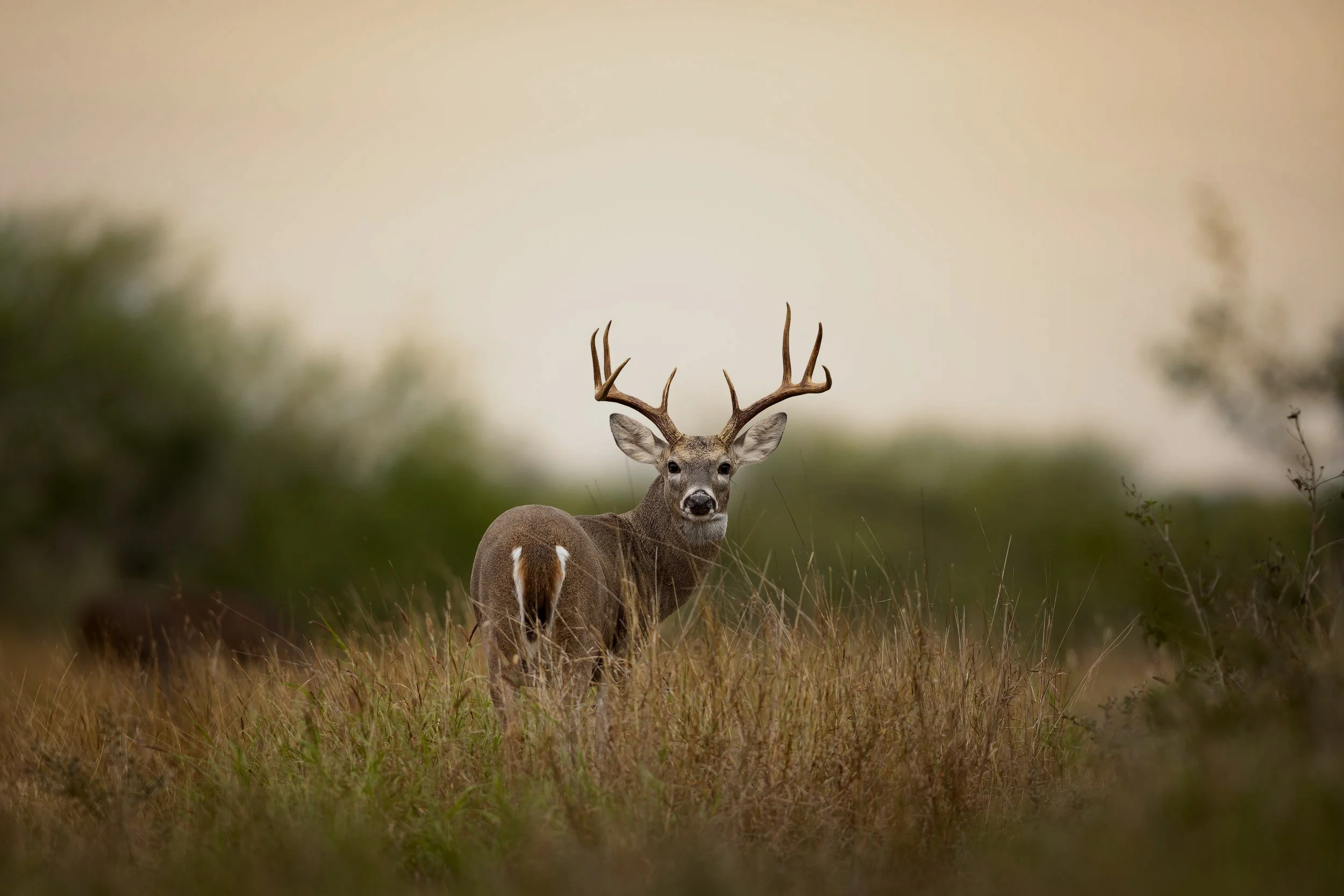
Survey Features
-

Headcount
Thermal view paired with color camera & spotlight, allowing for more detailed and insightful data on observed wildlife.
-
Highlight Reel
See all of the best moments from your survey condensed into one easy to watch & share reel. Full flight video also included.
-

Smart Map
A visual aid that lets clients explore and analyze survey results, offering a clear and detailed view of the land layout.


What are the benefits?
-
Knowing what species are present (and in what numbers) allows landowners to make calculated decisions about harvest strategies, feed programs, predator control, and long-term conservation goals.
-
Reliable wildlife data can support applications for state programs like Texas Parks & Wildlife MLD program, conservation incentives, and land valuation benefits.
-
Quality wildlife is undeniably a major draw for any property. Understanding the current wildlife makeup not only enhances the allure of the land but also provides invaluable insight for anyone interested in the overall management and sustainability of the property. This knowledge can significantly impact the enjoyment and value for ranch owners and visitors alike.
Qualifications


Rio Vision Ranch Solutions holds a Commercial Aerial Wildlife Management (AWM) Permit issued by Texas Parks & Wildlife. All of our drones & pilots are registered, ensuring every flight is compliant and legal. With the landowners authorization (LOA), we are able fly over ranches for the purpose of surveying, counting, and photographing wildlife.
